iotdata, by Data Frontieriot
data
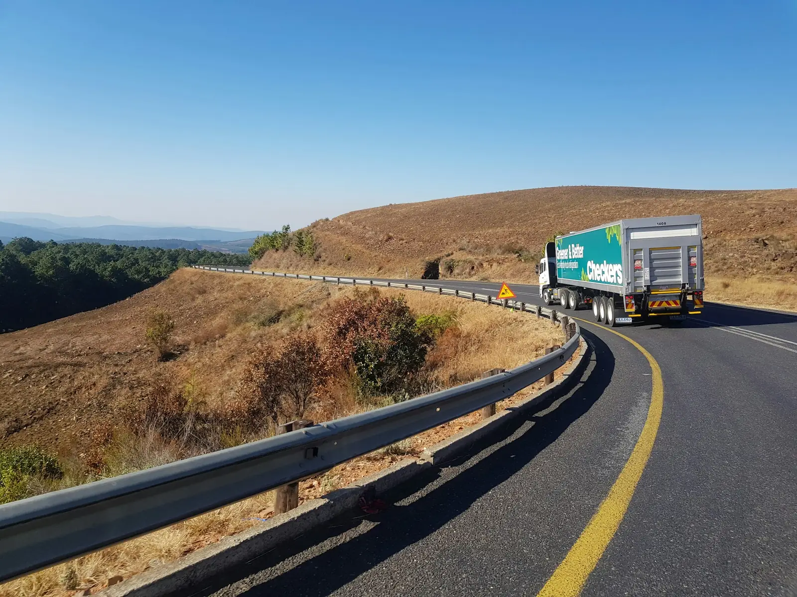
Truck on a winding highway between hills
Fleets · satellite tracking and fleet management

The truck leaves cellular coverage. Its trail does not.

A hybrid tracker that uses the cell tower where there is one and the DG satellite network where coverage ends, with ignition, engine hours and geofences on the same dashboard. For trucks on rural routes, machines on a job site or a farm, and assets parked far from everything. Engineering and platform by Data Frontier, Brazil.

  • What the dashboard shows
  • Position and route, with the time of every point
  • Ignition, stops and engine hours per vehicle
  • Geofence entry and exit: yard, customer, job site
  • Email and WhatsApp alerts when something breaks the rule
What drives the decision

Three facts that pick the right tracker.

Driving-time rules, maintenance by engine hours and the cellular coverage map. None of them depends on marketing, and all three change what the device has to do.

Driving time · EU and US
4.5 h

In the EU, a truck driver must take a 45-minute break after four and a half hours of driving; in the US, FMCSA caps driving at 11 hours and requires a 30-minute break after 8. The official record is the tachograph or the ELD; timestamped ignition and movement help the company manage the schedule around it.

Regulation (EC) No 561/2006, art. 7 · 49 CFR 395.3 (FMCSA)
Maintenance
Engine hours

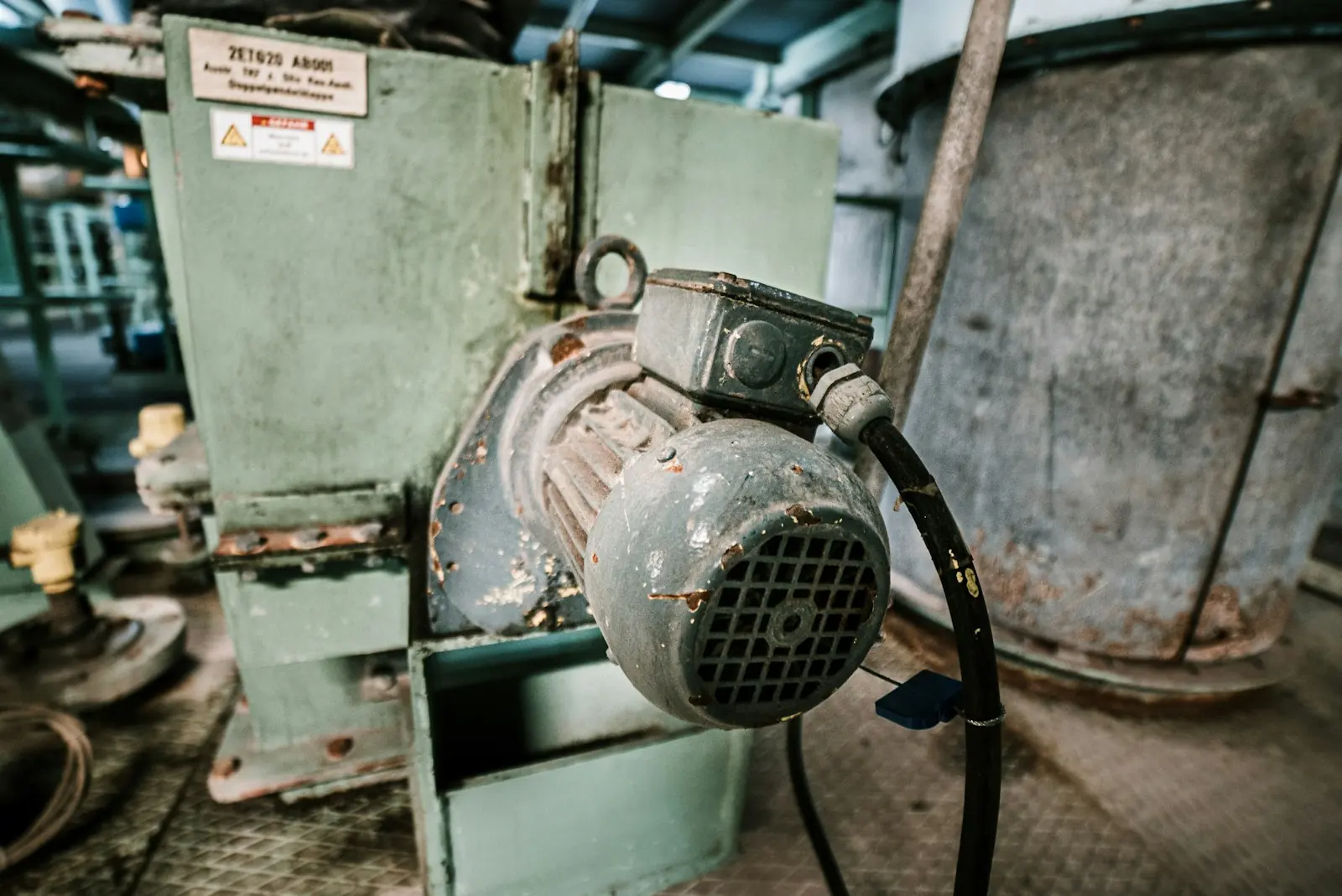
Heavy equipment is serviced by engine hours, not by miles. Hours read remotely from every machine turn the service plan from a guess into a schedule, and show which machine is working and which one is just parked.

Service intervals as set in each manufacturer’s maintenance manual
Coverage
2 networks

The same device talks to the cell tower, which delivers the position in minutes, and to the DG satellite network where there is no tower, which also delivers in minutes. Dirt roads, farms and remote job sites stop being holes in the map.

Coverage by network at frontierdataiot.com/coverage
What we measure

From the truck on the highway to the generator parked on site.

One device family and one platform for everything that moves or sits far away. What changes from one to the other is the power source and how often it reports.

Trucks and vans

Position, route, speed, ignition and stops, with geofences at the yard and at every customer. Who left, when they arrived, how long they waited.

Farm and construction machinery

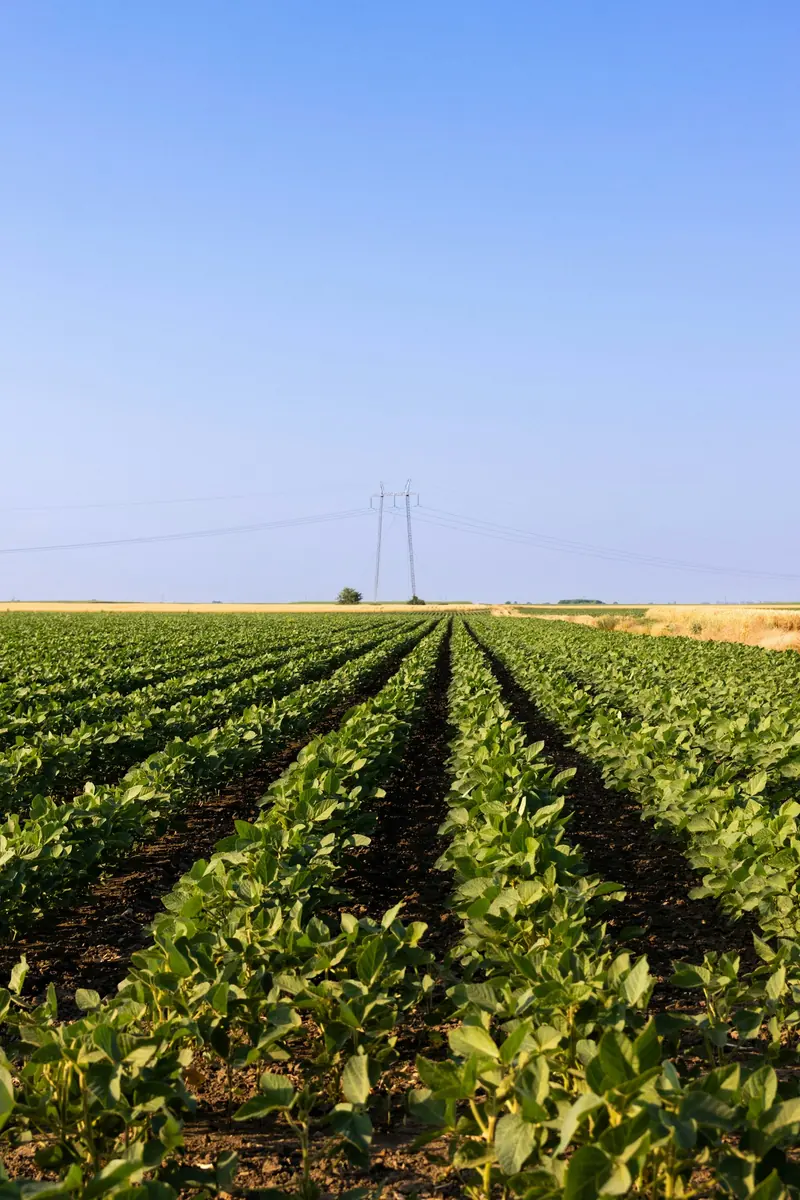
Engine hours for usage-based maintenance and for billing hours worked, and a geofence around the farm or job site to know if the machine left where it should be.

Unpowered assets

Dropped trailer, generator, container, tank. A battery locator that wakes up, sends its position and goes back to sleep, over the satellite network when there is no tower.

Driving and duty time

Timestamped ignition and movement, per driver and per day, as input for managing driving time. The dashboard shows it; the policy belongs to the company, and the legal record stays with the tachograph or ELD.

Alerts that matter

Geofence exit after hours, long stop, ignition in the middle of the night, low battery. Email and WhatsApp alerts only on change, not on every point.

Integration

REST API for your ERP, TMS or security provider. Trackers from another vendor that offer an API can join the same dashboard.

Dashboard exampleA truck’s day on the dashboard
  1. 05:42Ignition on at the yard Cellular
  2. 05:58Left the geofence "Main yard" Cellular
  3. 09:14Entered a stretch with no cell tower Satellite
  4. 11:37Arrived at the geofence "Customer – grain elevator" Satellite
  5. 14:05Left the customer: 2 h 28 min waiting Cellular
  6. 17:50Ignition off: 9 h 12 min of engine time today Cellular

Illustrative example. Points that travel over the DG satellite network reach the dashboard in minutes, stamped with the time they happened.

How deployment works

Four steps, with one person accountable from start to finish.

  1. 01

    Survey

    How many vehicles and machines, which routes, where cellular fails, what your insurer and customers ask for, and whether an existing tracker is worth keeping.

  2. 02

    Pilot

    A few vehicles equipped, geofences and alerts configured, one month of data side by side with what the operation already uses. It only moves forward if the numbers match.

  3. 03

    Installation

    Installation across the fleet, the platform set up for your operation and training for the people who will use it: fleet manager, maintenance, finance.

  4. 04

    Operation

    Support from the team that built it, usage reports and alert rules tuned as the operation shows what matters.

The truth about satellite. Over the cell tower and over the DG satellite network, the position arrives in minutes, stamped with the time it happened. What differs between the two is the cost per message: satellite is more expensive, which is why the hybrid device only uses it where the tower ends. How often the position is sent outside coverage is agreed in the survey, because that is what sets the monthly cost.

Frequently asked questions

The usual questions, answered plainly.

Does a satellite tracker work where there is no cell signal?

Yes: that is what it is for. Satellite does not depend on towers, and over the DG satellite network the position reaches the platform in minutes, stamped with the time it happened. The device is hybrid because a satellite message costs more: it uses cellular where it exists and satellite only where it ends.

How much does it cost?

It depends on three things: how many vehicles, how much of the route has no tower, and how often the position needs to be sent. Satellite is the expensive part, and the hybrid only uses it when needed. The price comes out of the survey, in writing, before any installation.

Does it work on tractors and construction machinery?

Yes. On machinery, what matters most is usually the engine hours, for usage-based maintenance and for billing hours worked, and the geofence, to know if the machine left the farm or the job site.

Can it be combined with a fatigue camera?

Yes. Camera events (drowsiness, phone in hand, distraction) land on the same timeline as the tracker. See the driver fatigue camera page.

Does it replace the tachograph or the ELD?

No. Where the law requires a tachograph or an electronic logging device, that remains the official record of driving time. Our tracker adds position, geofences, engine hours and alerts on top of it.

I already have trackers. Do I need to replace them?

Not necessarily. If your current vendor offers an API, its data can join the same dashboard as the new devices. The survey tells you what is worth keeping.

Request a proposal

Tell us how many vehicles and where they run.

An answer from an engineer, not a bot. Tell us the routes and where cellular fails: that is what defines the device.

Used only to reply to this request. No newsletter. Privacy policy.
Other areas

The same hardware and the same dashboard, in other sectors.

Sources: Regulation (EC) No 561/2006, art. 7 · 49 CFR 395.3 (FMCSA hours of service).