iotdata, by Data Frontieriot
data
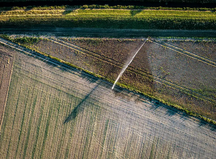
Irrigated cropland seen from above, the way a drone sees it
Robotics and drones · automated data collection

The data nobody can reach on foot, a robot brings back.

The drone and the camera come off the shelf. The engineering is ours: what to measure, the flight plan, the onboard sensor when none exists, the processing, and the integration with your fixed sensors on the IoTData platform. Built to order, from prototype to small series.

  • What the project covers
  • A survey of what you need to measure
  • Drone, camera and sensors chosen from the market
  • Our own board and firmware when nothing fits
  • Processing and delivery to the platform by API
Before takeoff

Three facts. None of them is a slogan.

A drone is an aircraft and answers to aviation rules. A multispectral camera delivers one kind of data, not miracles. And data only pays off when it reaches the dashboard where you already watch everything else.

Irrigation canal and sprinkler seen from above
FAA Part 107 · EU 2019/947
120 m

In the United States, commercial drone flights fall under 14 CFR Part 107: a certificated remote pilot, and a ceiling of 400 ft (about 120 m) above ground, except near structures. In the European Union, Regulation (EU) 2019/947 caps the open category at 120 m. Registration, airspace authorization and insurance depend on where you fly.

14 CFR Part 107 (FAA) · Regulation (EU) 2019/947
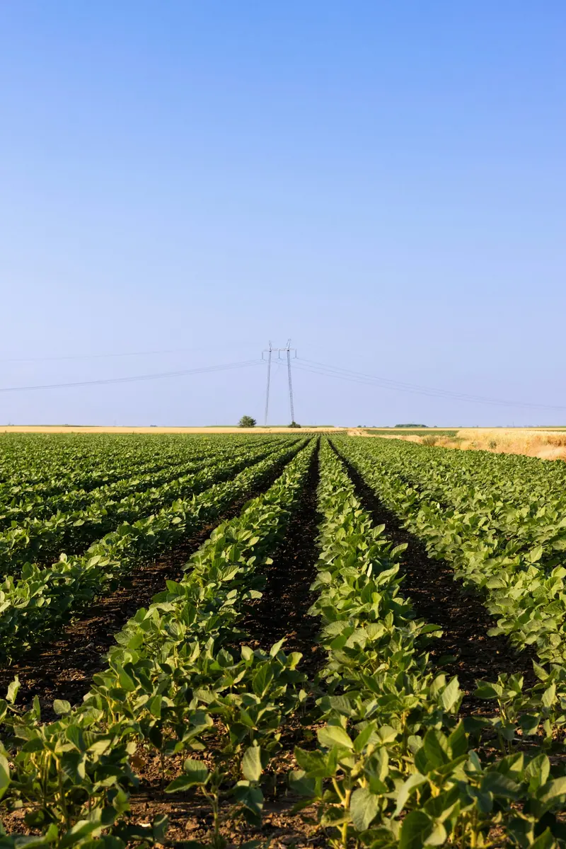
Crop rows stretching to the horizon
Multispectral flight
5 bands

A multispectral camera records blue, green, red, red edge and near infrared. Healthy plants reflect near infrared and absorb red; NDVI, the normalized difference between the two, reveals planting gaps, water stress and nutrient deficiency before the eye can.

NDVI = (NIR − R) / (NIR + R)
Operator monitoring equipment on a screen
IoTData platform
API

The flight result, whether a map, an index per field or a line measurement, reaches the platform through the same API that receives any of your equipment. It sits next to flow, pump hours, the weather station and machine vibration, with history and alerts.

REST API and DF-1 protocol · one dashboard
Center pivot structure seen from below
We don’t sell drones. We deliver the measurement you couldn’t make, working and integrated.
How a project works

Four stages, one team accountable from start to finish.

  1. 01Survey

    What you need to measure, how often, over what area, and which fixed sensors are already in place. That defines the drone or robot, the camera and sensors the market offers, and what we need to build.

  2. 02Prototype

    Flight plan, payload, our own board and firmware when nothing fits, and the processing that turns images and readings into numbers. One unit, tested on your site.

  3. 03Validation

    Validation flights checked against field measurements, processing tuned, and the operation cleared with the local aviation authority. It only passes when the numbers match.

  4. 04Small series

    The units your operation needs, with API integration on the IoTData platform, dashboard and alerts set up, and maintenance by the people who built it.

We’re upfront about what’s ours. Drones, cameras and most sensors come from the market, and we tell you which ones we picked and why. What comes from us is the engineering: the onboard system that didn’t exist, the processing, the integration and the dashboard. Timeline and price come out of the survey, not a price list.

Use cases

Three places where the data was too far away.

Each one combines what the drone sees with what fixed sensors already measure. That combination is what makes the number worth having.

Center pivot irrigating a corn field

Pivot and line inspection

Scheduled flights over the pivot span and the water mains: clogged nozzles, leaks, towers out of line, wheels stuck in mud. The dashboard shows the image next to pump hours and intake flow, so you know whether the problem is water or machinery.

Fields and an irrigation canal seen from above

Crop mapping

Orthomosaics and vegetation indices per field, as often as the crop calls for. Planting gaps, water stress and pest patches with coordinates, cross-checked against rainfall and temperature from your weather station.

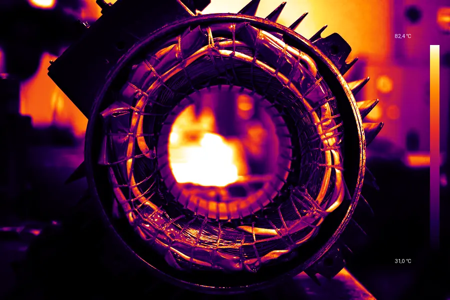
Thermal image of an electric motor (illustrative)

Industrial inspection

Roofs, piping, tank farms, power lines and stacks with no scaffolding and no shutdown. Thermal and visual cameras on the drone, and a new hot spot lands on the same dashboard as motor vibration. Illustrative image.

Fixed sensors reach the platform within minutes, over cellular or the DG satellite network; flight data arrives once processing is done. Nothing here is instantaneous, and this page doesn’t pretend it is.

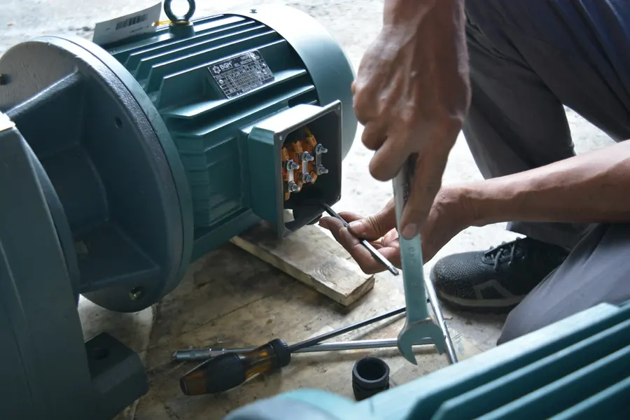
Technician’s hands wiring the terminal box of an electric motor
Engineered in Brazil

The same team that designs the board writes the firmware and runs the dashboard.

Data Frontier designs and manufactures from hardware to software: electronics, firmware, its own 4G and NB-IoT gateways, and the IoTData platform with its API. Custom robotics and embedded systems are what we build when the equipment you need doesn’t exist yet.

Electronics
Board and enclosure
Schematic, layout and enclosure designed in-house for sun, dust, vibration and the plant floor.
Firmware
Embedded code
Battery saving, message queuing, over-the-air updates. The code running on the device is ours.
Network
Cellular, LoRa and satellite
Our own 4G and LoRa gateways; NB-IoT SIMs that work over towers and satellite; the DG satellite network where nothing else reaches.
Platform
IoTData Cloud
Dashboard, history stamped with the event time, alerts, and an API for your own systems.
Frequently asked questions

What people usually ask before describing their project.

Do you build the drone?

No. The drone and camera come from the market, chosen for what you need to measure. What we build is what goes onboard when the market doesn’t have it: the board, the sensor, the firmware. And we design everything else: flight plan, processing, integration with your fixed sensors, and the dashboard.

Do I need a permit to fly a drone over a farm or a plant?

Commercial drone work is regulated. In the United States it falls under FAA Part 107, which requires a certificated remote pilot; in the European Union, under Regulation (EU) 2019/947, applied by each country’s aviation authority; elsewhere, under the local aviation authority. Registration, airspace authorization and insurance depend on the site and the aircraft. The project accounts for this from day one.

Does drone data go on the same dashboard as fixed sensors?

Yes. The IoTData platform receives each flight’s result by API and places it next to flow, pump hours, the weather station or machine vibration, with history and alerts in one place.

What if what I need to measure doesn’t fit on a drone?

Then it’s a ground robot, a sensor mounted on an implement, or fixed equipment. The path is the same: survey, prototype, validation and a small series, all by the same engineering team in Brazil.

Tell us about your project

Tell us what you need to measure. We’ll tell you what has to fly, drive or stand still to measure it.

An answer from an engineer, not a bot. If you already have drones, sensors or a management system, say so: we build on what’s there.

E-mail [CONTACT E-MAIL]Engineering and manufacturing by Data Frontier, Brazil.
Used only to reply to this request. No newsletter. Privacy policy.

Rules cited: 14 CFR Part 107 (FAA) · Regulation (EU) 2019/947. Photos under the Unsplash license, the same as on our agriculture and industry pages. The thermal image is illustrative.