
Satellite truck tracker: when it pays off and what goes into the price
Cellular, satellite or both: on which routes each one pays for itself, what the monthly fee covers, and the questions to put to the supplier in writing before you sign.
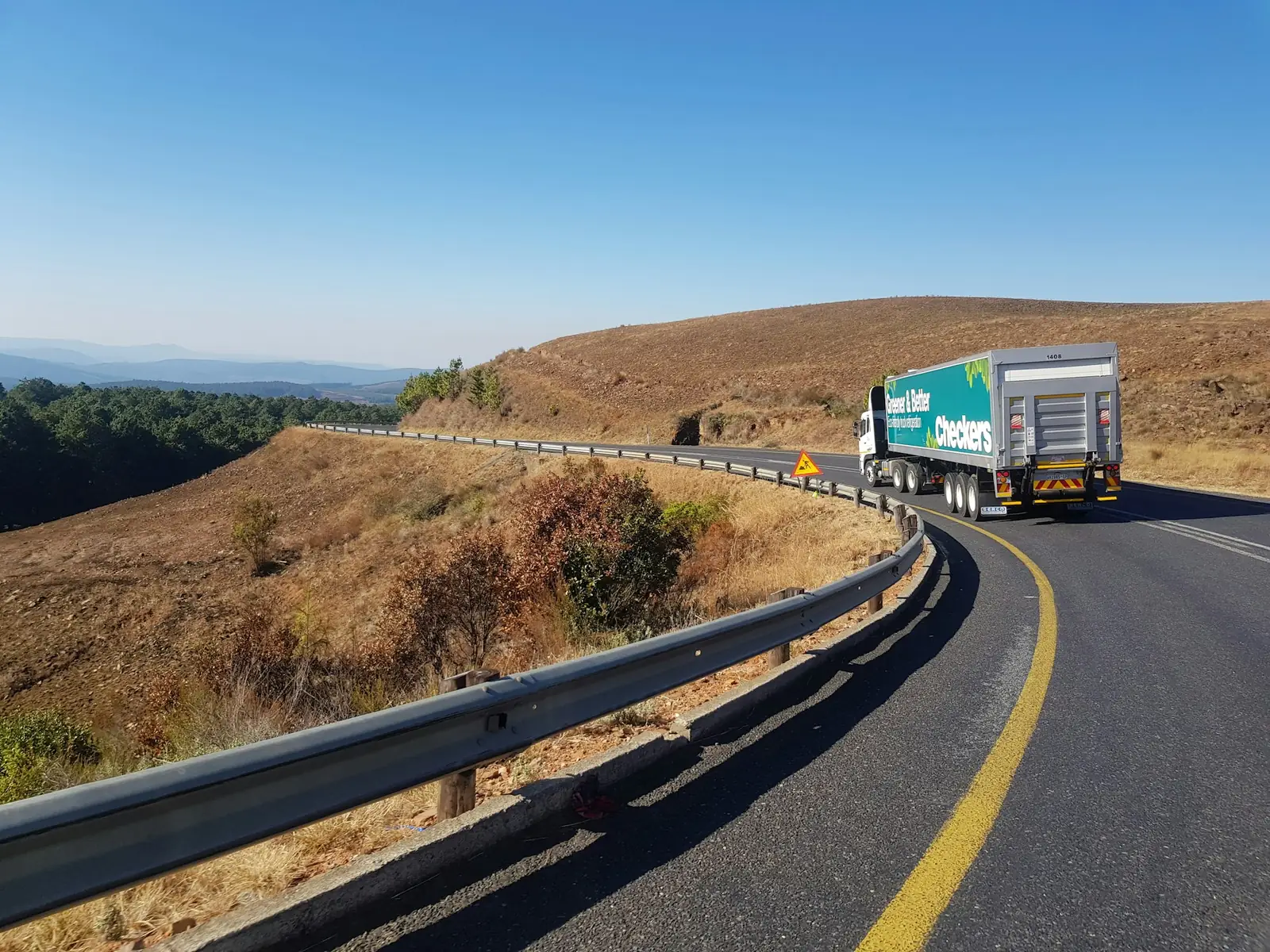
Every tracker finds out where it is the same way: from GPS or another satellite navigation constellation. What sets a "satellite" tracker apart from an ordinary one is not knowing its position, it is how it reports that position to someone. The ordinary tracker uses the cellular network. The satellite tracker uses a network of communication satellites, which does not depend on any tower.
That difference decides on which routes each one is worth what it costs. This article walks through the math without a price list, because an honest price depends on your operation, and closes with the questions that should go to the supplier in writing.
Where cellular is enough
On urban routes and main highways with good coverage, a cellular tracker handles almost everything: it sends the position at short intervals, costs less per month and carries as much data as you like. When the truck goes through a stretch with no signal, the device stores the points and sends them all once coverage returns.
The trouble shows up in three situations:
- Long stretches with no tower. Dirt roads, farms, construction fronts, remote farmland. Store-and-forward works if the truck gets back into coverage; if the important event happens in the middle of the stretch, nobody finds out in time.
- High-value, targeted cargo. A cellular jammer knocks out precisely the channel an ordinary tracker relies on. That is why many cargo risk-management plans require a second communication channel.
- Assets parked far from everything. An unhitched trailer, a generator, a machine on a remote job site. With no tower nearby, a cellular tracker simply cannot report.
Where satellite pays for itself
Satellite is the channel that does not depend on a tower. It costs more per message and, on IoT satellite networks, each message is small: position, time, a few status values. It is not a channel for video or large files.
The route where it pays off has at least one of these traits: it spends hours outside cellular coverage, it carries cargo that your insurer's risk-management plan says must be protected with redundancy, or it involves an asset that has to be found far from everything.
On the DG satellite network, which is the one we use, the position reaches the platform in minutes, stamped with the time it happened. Other IoT satellite networks work by satellite pass and deliver in hours, and that delivery time is exactly what must be written into any supplier's proposal.
Hybrid: cellular where it exists, satellite where it ends
A hybrid device uses the cellular tower whenever there is one and only falls back to satellite when there is not. It is how you pay for satellite only on the stretch that needs it. For most fleets running inland, this is the setup that makes sense: position in minutes on the highway and on the dirt road, paying for satellite only where the towers run out.
What goes into the price
Any serious proposal separates four things:
- Hardware, purchased or loaned for the length of the contract.
- Installation, which on a truck includes power, the ignition signal and, if the risk-management plan calls for it, concealed mounting.
- Communication, the recurring part: the cellular data plan and, on a satellite tracker, the satellite messages. This is where reporting frequency weighs in: a position every two minutes over satellite costs far more than a position every hour.
- Platform: dashboard, history, alerts, reports and integration.
Be wary of a fixed price quoted before the supplier asks where your fleet runs. The same fleet can cost twice as much, or half as much, depending on how much of the route is out of tower range.
Questions to ask in writing
- How long does a position take to reach the dashboard over cellular and over satellite?
- How many satellite positions are included per month, and what does each extra one cost?
- With no signal at all, how many points does the device store in memory?
- Does it have its own battery? How long does it keep working with the truck switched off or the power cable cut?
- Is the data available through an API for my ERP, TMS or risk-monitoring provider?
- Does the device meet what my risk-management plan requires? The answer should cite the specific item of the plan.
- What is the contract term and the early-termination cost?
Where IoTData fits in
We build the hybrid tracker and the platform: position, route history, engine hours, geofences and alerts by email and WhatsApp, over cellular where it exists and the DG satellite network where it ends. The survey starts with your routes, not with a price table. See satellite tracker and fleet management.
Sources: general characteristics of IoT satellite networks (short messages, per-message billing).