
Forestry telemetry: machines, weather stations and crews in stands without cell signal
Cellular, LoRa radio or satellite: how to choose the data path for each stand and what each one delivers in range, latency and cost.
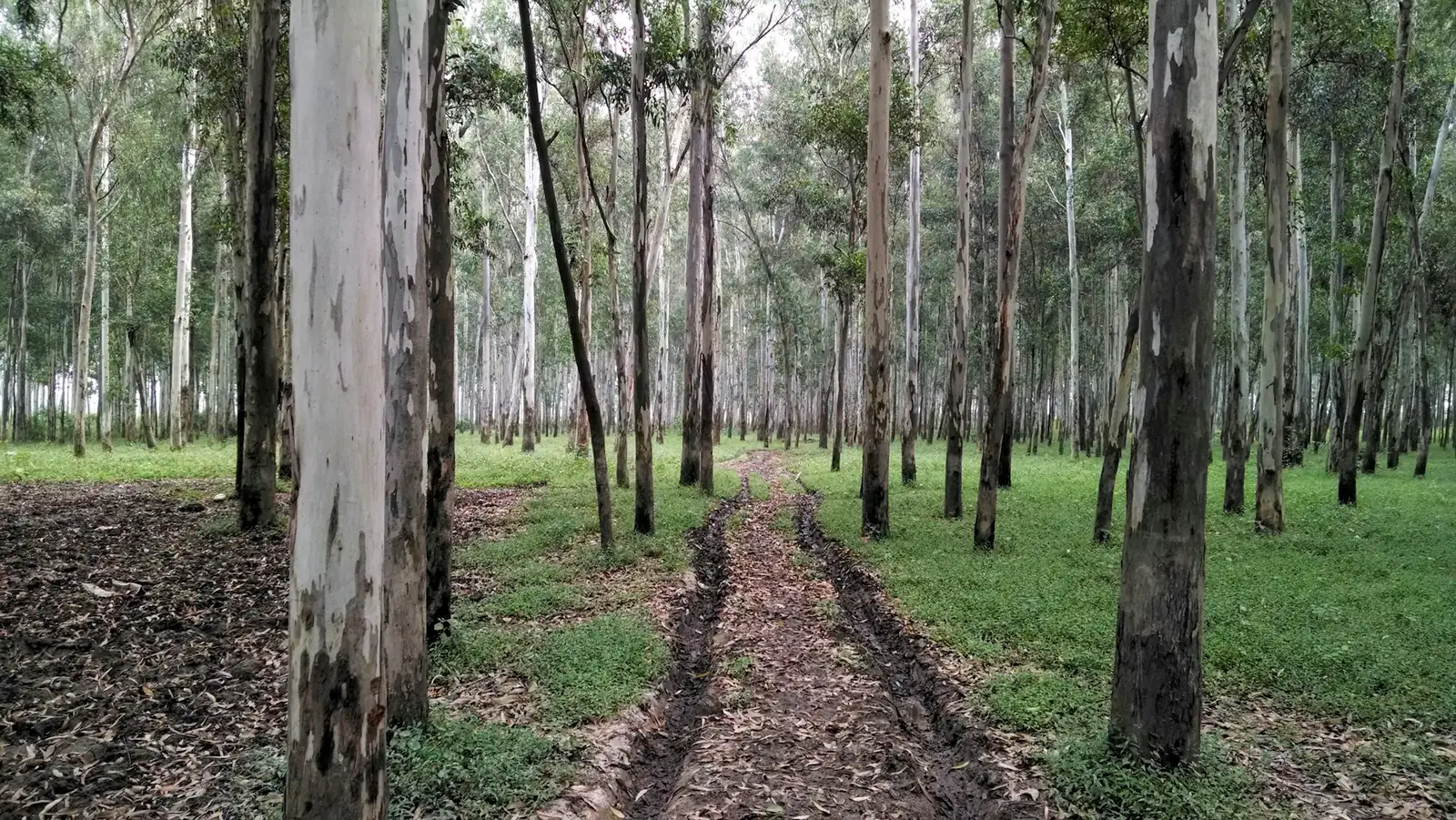
In plantation forestry, the sensor is the easy part. Weather stations, engine-hour meters on machines, water tank level sensors: all of that has been around for decades. The hard part is getting the data out of the stand, which is almost always far from a cell tower. This article compares the three data paths and helps you pick the right one for each location.
Path 1: the cellular network
Where there is signal, this is the simplest path: the device sends data straight to the platform, in minutes, with no infrastructure of your own. NB-IoT, a technology designed for low-power devices, reaches a little further than regular cellular service and is easy on the battery.
The limitation is obvious: it only works where the carrier has coverage. On a forest estate, that usually means the headquarters, the main road and little else.
Path 2: LoRa radio to a point with signal
LoRa is a long-range, low-power radio. The architecture is a star: the sensors in the stand talk to a gateway installed at a high point with internet access (the headquarters, a fire lookout tower, a hilltop), and the gateway forwards everything to the platform.
- Range: from a few kilometers to more than ten, depending on terrain, antenna height and the vegetation in between. Mature eucalyptus between the sensor and the gateway shortens the range; a high-mounted antenna makes up for it.
- Latency: data arrives in minutes, just as over cellular, because the gateway has internet access.
- Cost: the gateway is your own infrastructure, and each new sensor within its coverage is cheap to connect.
This is the right path for many sensors in a contiguous area near a high point: several weather stations, nursery pumps, level sensors.
Path 3: satellite
A satellite network depends on nothing on site: no tower, no gateway. The device transmits straight to the satellite from any stand.
- Range: anywhere with open sky.
- Latency: on the DG satellite network, which we use, each record arrives in minutes, stamped with the time of each reading.
- Cost: billed per message, and the messages are small (position, engine hours, a few readings).
This is the right path for isolated and mobile assets: a machine that moves between harvesting fronts, a station in a remote stand with no high point nearby, a support truck on a dirt road.
How to choose in practice
| Situation | Path |
|---|---|
| Headquarters, nursery and roads with signal | Cellular |
| Many sensors near a high point | LoRa with gateway |
| Machine moving between fronts without signal | Satellite (or hybrid) |
| Isolated station, far from everything | Satellite |
| Alert that must arrive within minutes | Cellular, LoRa or the DG satellite network |
The last row carries the most weight. A fire-risk alert that has to mobilize the fire crew now must arrive within minutes, and it does over all three paths; what the project decides is the cheapest path that reaches each sensor.
What about the crew in the field?
A lone worker in an area without signal is an occupational safety issue, and the forestry work-safety rules in your country are the reference for how field work is organized and how help reaches the crew. Tracking the crew vehicle solves part of the problem (knowing where the crew is). Personal emergency communication is a different category of equipment, and it goes into the site survey when the operation calls for it.
Where IoTData fits in
We manufacture LoRa gateways and 4G gateways, work with NB-IoT and the DG satellite network, and bring everything together in a single platform. Deciding which path serves each stand is the first step of the project. See IoT for silviculture and coverage by network.
Sources: general characteristics of LoRa, NB-IoT and satellite networks for IoT.